Norwegian version of this page

HumGIS

The purpose of the HumGIS project is to establish an e-infrastructure and researching tools that enables researchers in the humanities to georeference their own data.

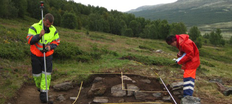
Two people working outside on an archaeological site.

The HumGIS project aims to provide the following for researcher and students: 

  • easier access to digital maps.
  • provide necessary tools for making researchers able to do map-based, spatial analyses and visualizations of their own research data. 
  • retrieve datasets based on the location of the data in space and time.
Read more about HumGIS at our Norwegian webpages.
Published May 26, 2022 5:44 PM - Last modified Sep. 11, 2022 4:59 PM

Contact